Weather ‘Explosive’ 2024 Atlantic Hurricane Season Predicted: Forecasters La Niña, historically warm waters could cause “explosive tropical development” in the Atlantic, more direct hits to Gulf Coast: FL forecast.
The combination of a La Niña weather system and historically warm waters during the 2024 hurricane season could cause “explosive tropical development” in the Atlantic with more direct hits to the Gulf Coast, forecasters said this week. (Shutterstock)
FLORIDA — The combination of a La Niña weather pattern and historically warm waters could mean a “blockbuster” 2024 hurricane season for Florida and nearby states, according to an AccuWeather report.
This scenario could cause “explosive tropical development” in the Atlantic Ocean this year with a higher risk for direct storm hits along the Gulf Coast, especially in Texas, forecasters said. Though it’s still over three months away from the official June 1 start to the 2024 hurricane season, AccuWeather’s chief meteorologist, Jonathan Porter, said he already has “serious and growing concerns” about what is likely to be a “super-charged” six months. Hurricane season ends Nov. 30.
“The current El Niño pattern that is in place is forecast to transition into a La Niña pattern during the second half of the hurricane season,” Porter said, noting that La Niña typically leads to more tropical storms and hurricanes in the Atlantic Ocean due to reduced wind shear. This year’s strong El Niño climate pattern has brought more wet weather to Florida than normal this winter. In fact, through Feb. 6, many areas, including Fort Myers, Key West, Melbourne, Sarasota and Tallahassee, have seen their wettest winters to date, according to The Weather Channel.
The Atlantic hurricane basin has the potential to see record-breaking warm waters this summer and fall — the span of the hurricane season — according to AccuWeather. In mid-February, the water temperatures in the Atlantic were already at the same level typically seen in mid-July and these temperatures are likely to continue rising. The above-normal 2023 Atlantic hurricane season was marked by record-warm Atlantic sea surface temperatures and a strong El Nino, the National Oceanic and Atmospheric Administration said. There were 20 named Atlantic storms in 2023, which ranks fourth for the most-named storms in a year since 1950. Seven storms were hurricanes and three intensified to major hurricanes. An average season has 14 named storms, seven hurricanes and three major hurricanes.
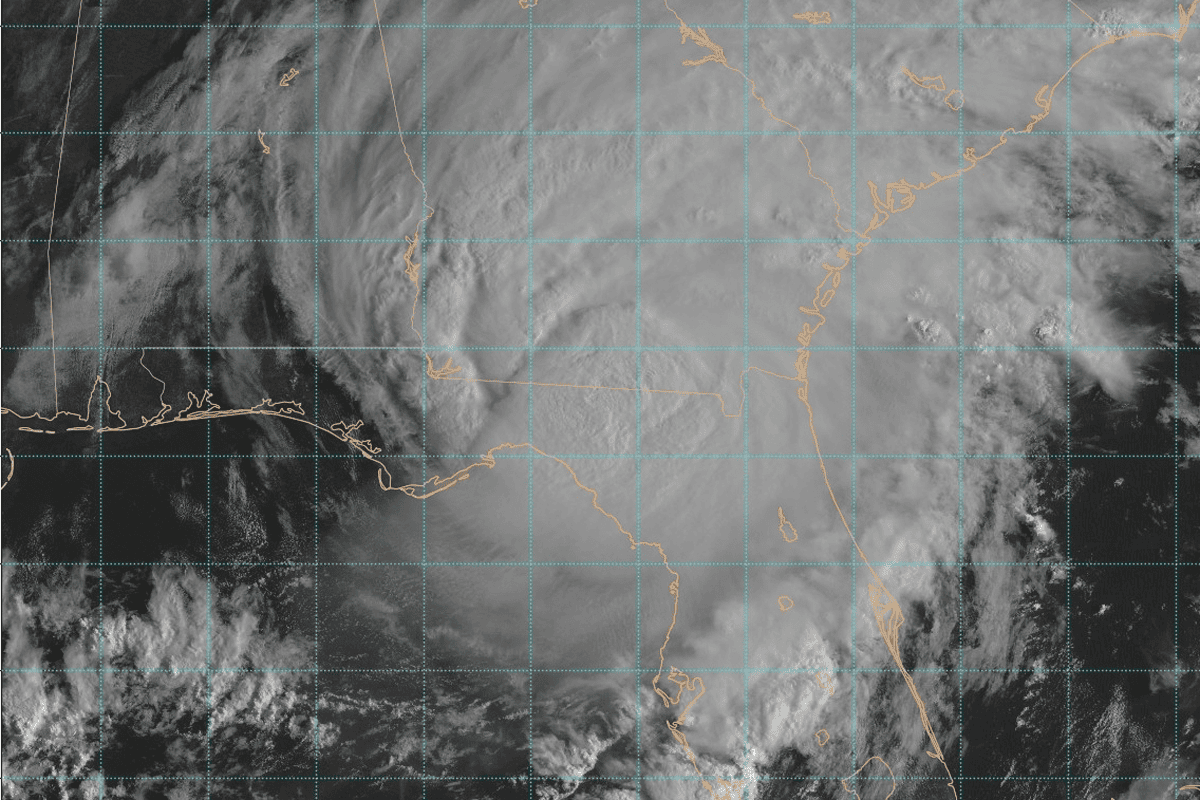
Hurricane Idalia was the only hurricane to make landfall in the U.S. last year. It arrived as a category-3 hurricane on Aug. 30 near Keaton Beach, Florida, causing storm surge inundation of 7 to 12 feet and widespread rainfall flooding in Florida and throughout the Southeast. NOAA will issue its predictions for the 2024 Atlantic hurricane season in May.
The record-breaking heat started last March and hasn’t stopped since. Temperatures are “almost certainly” going to continue rising, making for a warmer-than-normal spring leading into the summer hurricane season, Brian McNoldy, a senior research scientist at the University of Miami, told CNN. “It’s February and a lot can still change. But if it doesn’t, then it could potentially be a very busy season,” Phil Klotzbach, a research scientist at Colorado State University, told CNN. The stewing warm waters and the impending La Niña climate pattern could mean bad news for those living along the Gulf or Atlantic coasts, as the combination will likely fuel strong storms. “Any storms that do form will have the potential to rapidly strengthen, even close to land, due to the exceptionally warm weather,” AccuWeather’s Porter said. McNoldy said the upcoming “season should be full speed ahead.”
“There are no factors going against an active season,” he said. “We’ll likely have an anomalously warm ocean and neutral or La Niña conditions for the peak of hurricane season — all the things you don’t want if you want less Atlantic storms.”
Source: patch.com


