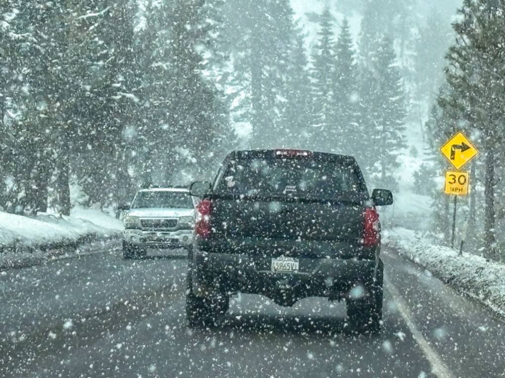
March roars in: Storm to bombard Pacific Northwest with hail, thunder, snow
A plethora of travel-impacting weather conditions will impact portions of Washington and Oregon over the next few days, as a stormy weather pattern persists in the region.
Copied
From Oregon to Pennsylvania, AccuWeather’s Melissa Constanzer explains how the weather could affect your skiing or snowboarding plans for the beginning of March.
A powerhouse storm moving into the West through the weekend will grab headlines by dumping over 100 inches of snow in the mountains of California, but it will also slam the Northwest, triggering multiple hazards there, say AccuWeather meteorologists.
Downpours, small hail, thunderstorms and snow that can fall even in the lowlands around Seattle and Portland will impact Oregon and Washington as multiple rounds of moisture move ashore in the Northwest to end the week and start the weekend.
The wet and snowy weather marks a continuation of a stormy pattern in the region, which will persist through the beginning of March. Chilly conditions will also accompany the precipitation, with temperatures running below the historical average, in stark contrast to the central and eastern parts of the country.
Snowflakes will fly at low elevations into the weekend
Falling temperatures accompanying the storm in the Northwest late this week and into the weekend will result in a drop in snow levels, warn AccuWeather meteorologists. Snow levels are the elevation where rain changes to snow.
GET THE FREE ACCUWEATHER APP
“Cold air rushing in will bring snow levels as low as 500 feet during the day on Friday,” said AccuWeather Senior Meteorologist Dan Pydynowski. “Above 1,000 feet in the hills outside the cities, some light accumulations can even occur.”
In Seattle, which resides below 500 feet, it will be mainly a cold rain for the duration of the storm, but a few snowflakes cannot be ruled out when temperatures bottom out as the storm’s core moves through. This is significant because only a trace of snow has been reported so far this season in the Emerald City, well below the historical average to date of 5.9 inches. Additionally, Portland, Oregon, sitting at an even lower elevation, could also get some flakes.
“The most likely time to see any snowflakes get down to those lower elevations closer to sea level, including Downtown Seattle and Portland would likely be Friday night,” added Pydynowski.
While any snow is not expected to stick along the Interstate 5 corridor and just a few inches of snow will accumulate in the foothills to the east, the Cascade mountain range will be in for potentially significant amounts of the white stuff. After the first phase of the storm brought a fresh 3 feet of snow to Stevens Pass, the passageway of U.S. Highway 2 through the Washington Cascades, from Tuesday into Wednesday, up to another foot of accumulation will be possible through the weekend.
Not just snow, but hail and thunder are possible also
While temperatures will drop at ground level during the storm, they will also tumble high up in the atmosphere, promoting a threat of thunderstorms packing hail, say AccuWeather meteorologists.
“A few rumbles of thunder and even some small hail can occur in heavier showers along the I-5 corridor on Saturday,” said Pydynowski. “While any thunderstorms will likely not reach severe limits, it will be yet more hazards to those with weekend or travel plans in the region.”
Another hazard for travelers will be preexisting flooding on rivers and streams in western Washington and Oregon, in the wake of widespread rainfall amounts of 2 to 5 inches from earlier in the week. Even though the additional rain expected into the weekend should amount to less than an inch in most areas, any rain will only add to the runoff into waterways, some of which are already near bankfull.
Not so fast for those hoping for a pattern change
Waterlogged and snow-buried residents of the Northwest are probably hoping for a different forecast as the calendar turns to November. AccuWeather’s team of long-range forecasting experts are warning them not to get their hopes up.
“The first week of March looks quite active in the West,” said AccuWeather’s Lead Long-Range Forecaster Paul Pastelok. “Several storms are expected to move from the northeastern Pacific Ocean and head for the Northwest, leading to more snow and rain of varying intensities.”
While some people may be tired of all this precipitation, the winter recreation industry will be downright giddy at the prospects of more snow into the latter portion of winter.
“Ski areas are now looking at another extended season that can last well into the spring,” added Pastelok. “This active storm pattern will hold through the second week of March.”
Want next-level safety, ad-free? Unlock advanced, hyperlocal severe weather alerts when you subscribe to Premium+ on the AccuWeather app. AccuWeather Alerts™ are prompted by our expert meteorologists who monitor and analyze dangerous weather risks 24/7 to keep you and your family safer.
Source: www.accuweather.com


