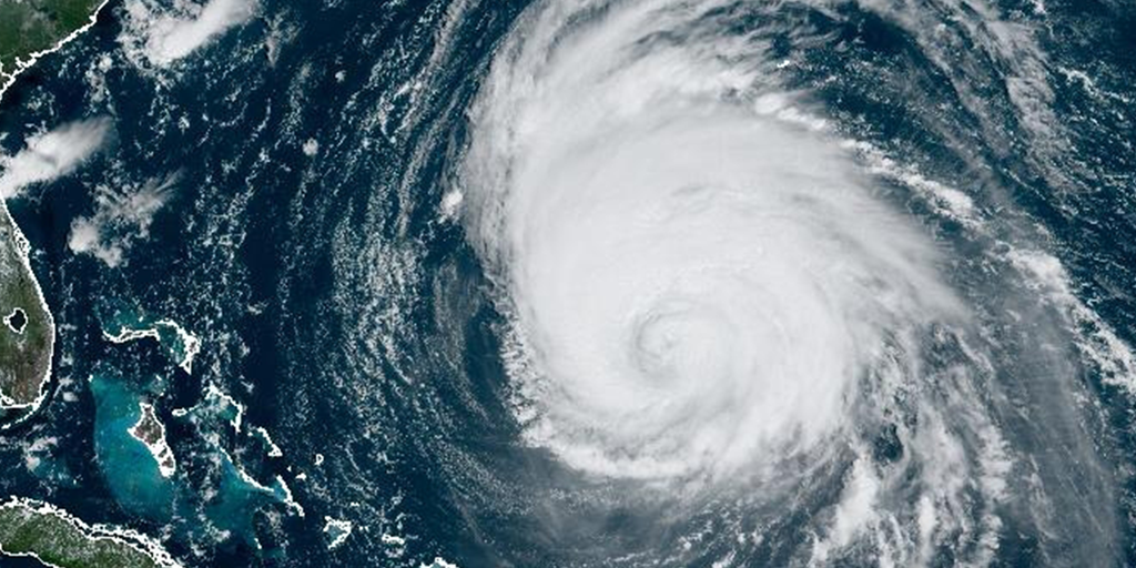
MIAMI – AccuWeather’s hurricane experts have warned of a “blockbuster” and “explosive” Atlantic hurricane season come this summer and fall.
Jonathan Porter, chief meteorologist for AccuWeather, said the upcoming season could get “supercharged” partly due to water temperatures in the major development region in the Atlantic, or MDR.
The MDR is host to around 80% of the tropical cyclones that develop and head for the U.S., Porter noted.
“This is a lot of red [high water temperatures] […] The water is so warm already. Typically, the water is about as warm as it is in mid-July,” Porter said. “Here we are, toward the end February.”
“It’s a lot warmer than it should be,” AccuWeather chief video meteorologist Bernie Rayno said.
According to AccuWeather, 2024’s temperatures are nearly 65% higher than the average temperature. The last closest year was 2002.
Wind shear is another factor that impacts tropical development. Strong shear helps prevent storms from forming and gaining strength. In 2023, the U.S. benefitted from wind shear, preventing the development of massive storms toward making landfall.
“We feel pretty confidently that we’re going into the opposite phenomenon,” Rayno said.
Porter said Pacific waters will be cooler, which alters the configuration of the jet stream and reduces wind shear and disruptive winds toward the Caribbean.
“The news isn’t good,” Rayno said.
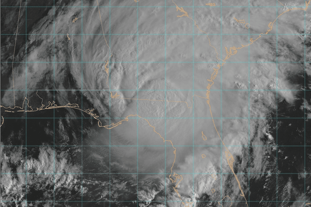
AccuWeather forecasted an “above average” number of named storms, and also warned of more major hurricanes and “rapid intensification” of storms. An example of this rapid intensification was Hurricane Ian in 2022 and Hurricane Idalia in 2023, both causing devastation for Florida.
Porter noted that Texas and Louisiana may be at greater risk for landfall this season.
The National Weather Service Climate Prediction Center has also raised notice of the trend toward a potentially more active hurricane season.
WINK chief meteorologist Matt Devitt additionally noted current weather trends regarding the upcoming season are “not good.”
“No sugarcoating it,” Devitt said.
“If [trend toward La Niña continues] + these very warm water temps [continue,] it could be a heck of a season,” he said. “Hope I’m wrong.”
La Niña is a weather pattern that typically results in less wind shear impacting the MDR. 2022 was a La Niña year.
As of early-February, the National Weather Service gave La Niña development by June to August a 55% chance. That is subject to change, depending if trends continue.
Source: flvoicenews.com


