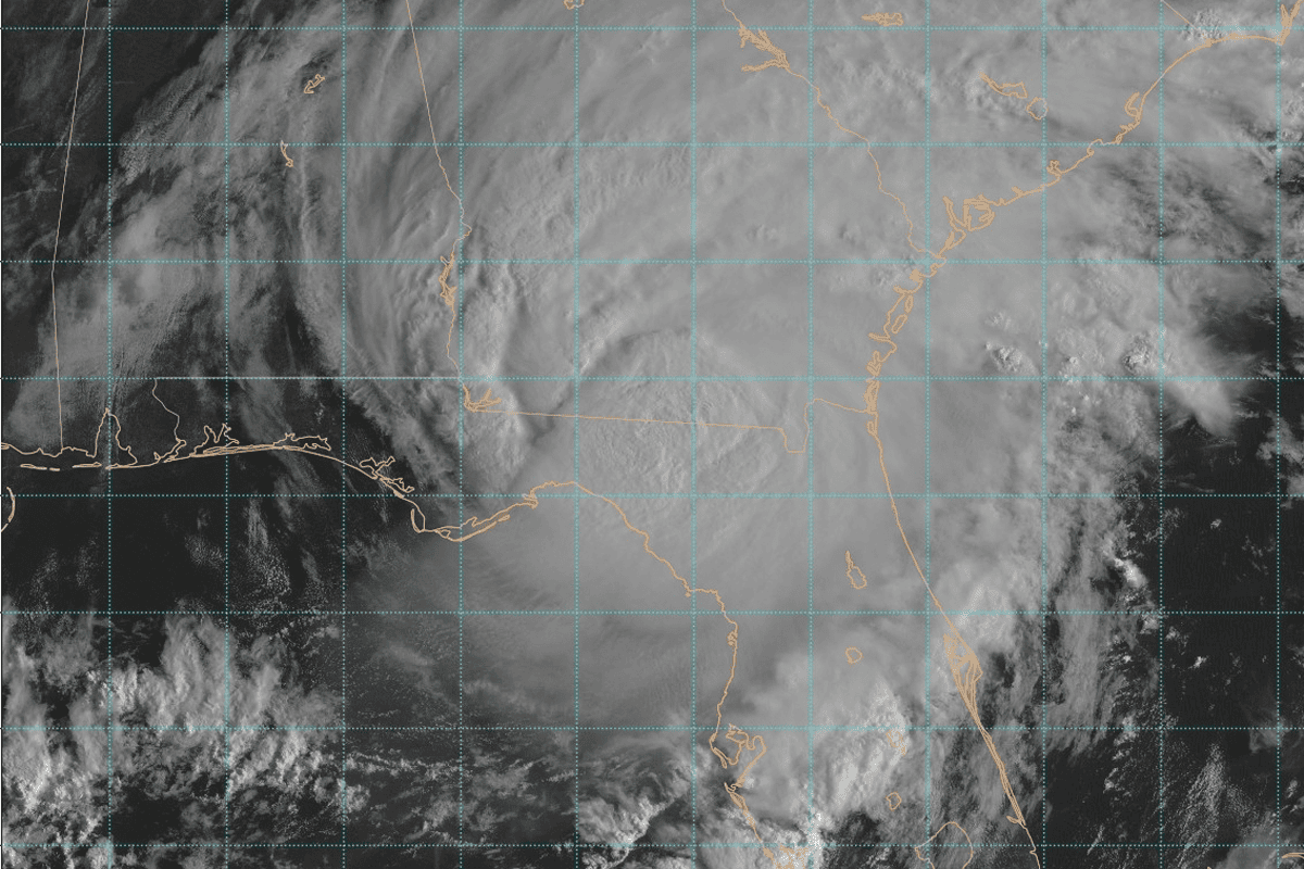
BRASÍLIA, Brazil – Forecasters are tracking Tropical Storm Akará off the coast of South America, which became a rare tropical storm on Monday in a part of the Atlantic Ocean that is usually void of tropical cyclone activity.
The Brazilian Navy last reported on Monday the storm was approximately 350 nautical miles southeast of the city of Florianópolis, the second-largest city of the Brazilian state of Santa Catarin, and moving south.
The system brought heavy rain to parts of South America before pushing offshore, and because of its trajectory, the system is not a threat to the mainland. The Brazilian Navy and the Brazilian National Institute of Meteorology are forecasting marine impacts, with large offshore waves up to 16 feet and winds up to 50 mph.
Ocean temperatures are plenty warm to support tropical cyclone activity, but upper-level winds are usually too hostile to support significant ones in the South Atlantic.
WILL 2024 ATLANTIC HURRICANE SEASON BE ACTIVE? ONE EARLY FORECAST SAYS YES
According to NOAA’s Cooperative Institute for Meteorological Satellite Studies at the University of Wisconsin-Madison, the system continued to organize and intensify Sunday and into Monday, eventually reaching tropical storm strength with winds greater than 40 mph.
Akará is the first named system in the South Atlantic Basin since 2022. The last named system to form in this region was Subtropical Storm Yakecan.
Forecast for Tropical Storm Akará
The U.K. Met Office said the “unusual” tropical storm is expected to move southward and remain off the coast of southeastern Brazil.
Water temperatures are estimated to be in the lower to mid-80s, which is sufficient to support tropical cyclone activity.
As the cyclone spins in the ocean clockwise – the opposite of a Northern Hemisphere hurricane due to the Coriolis effect – it is not expected to threaten any land areas.
According to the FOX Forecast Center, upper-level winds will become more hostile by midweek and put a halt to the intensification process.
Some previous computer model runs showed the system gaining enough organization to approach low-end hurricane status, but the window of development is fairly short, which would not allow for significant intensification.
Hurricanes in the South Atlantic are extremely rare, and according to NOAA, there has been only one occasion of a hurricane off the coast of South America during the modern satellite era. Hurricane Catarina made landfall in southern Brazil as a Category 1 storm on March 27, 2004.
5 DIFFERENT NAMES FOR HURRICANES AROUND THE WORLD
Tropical cyclone naming process
Unlike other basins across the globe that are regulated by the World Meteorological Organization, the South Atlantic is unique as no single agency monitors the entire basin.
Over the last decades, the Brazilian Navy Hydrographic Center has developed a naming list that is used year-round to identify cyclones that are south of the equator and west of longitude 20 degrees west.
Prior to Akará, the last name that was used from the list was Yakecan in 2022. The subtropical cyclone formed off the coasts of Brazil and Uruguay before turning away from land and heading out into the open South Atlantic.
There are currently 31 unused names on the list produced by the Brazilian Navy Hydrographic Center.
A cyclone is usually given a name when it has sustained winds of at least 40 mph, much like cyclones in the North Atlantic and Pacific oceans.
Unlike basins monitored by the National Hurricane Center, the South Atlantic does not have a tropical cyclone season, meaning tropical depressions, tropical storms and hurricanes form year-round.
Most tropical cyclone activity happens between December and May when the Southern Hemisphere is in its summer and fall.
Source: www.foxweather.com


